Tropical Storm Fay Forms of U.S. East Coast
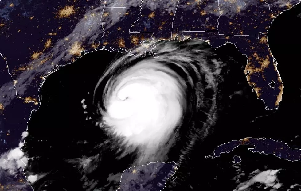
The 2020 Hurricane Season keeps breaking records. Yesterday about 4 pm Louisiana time forecasters with the National Hurricane Center confirmed that an area of low pressure that had moved from the Gulf of Mexico across Georgia and the Carolinas was now organized enough and strong enough to be classified as a tropical storm.
That tropical storm was given the name Fay. It's the sixth named storm of the 2020 season and the earliest in any season that we have had six named systems. As of the latest advisory from the Hurricane Center Fay remained a minimal tropical storm with maximum sustained winds reported to be 45 mph.
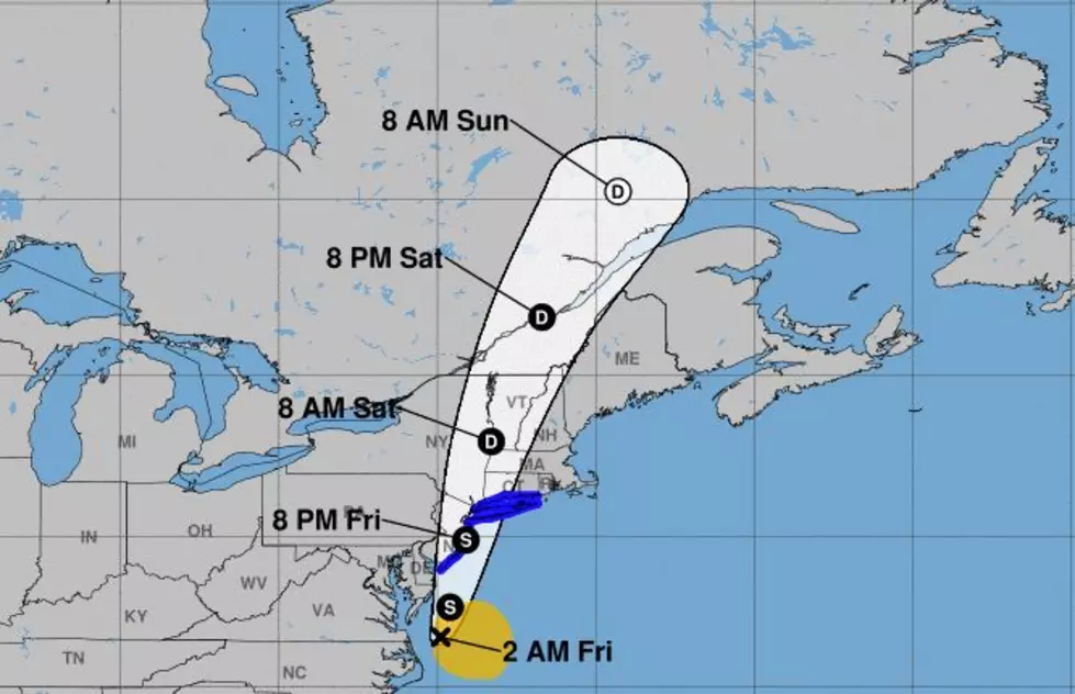
The official forecast from the Hurricane Center suggests that Fay could get a little stronger as it travels parallel to the East Coast of the United States. The system's center of circulation was about 100 miles south of Ocean City Maryland this morning and was moving to the north at about 8 mph.
The forecast track of Fay should carry the system just east of the Delmarva Peninsula during the day today. And over the state of New Jersey and New York City during the nighttime hours of Friday and early morning hours of Saturday.
The biggest threat from Fay will likely be torrential rains and possibly some flooding. Tropical storm watches have been posted for the Jersey Shore, coastal New York and Connecticut.
Renting a Condo? Better Clean These 10 Things
More From Classic Rock 105.1