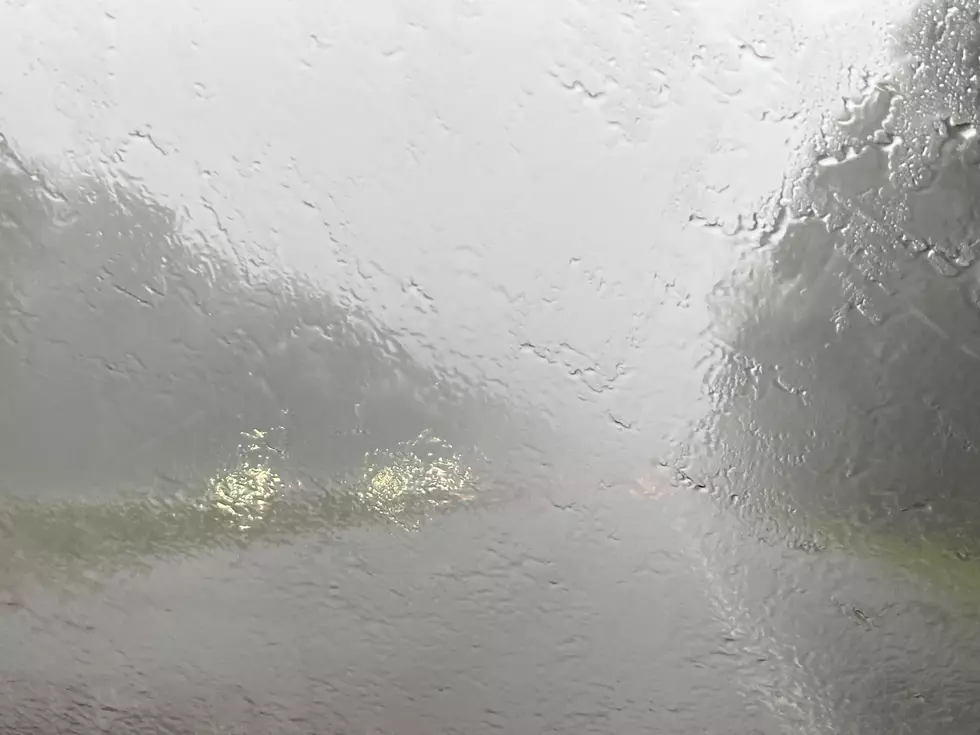
Weather Service: Excessive Rainfall for Louisiana Sunday
(KMDL-FM) Even if you've just glanced at the headlines over the July 4th holiday weekend, you've no doubt learned of the horrific tragedy that has unfolded in Central Texas. The death toll from this weekend's flooding rains is still climbing, and there are frantic efforts underway to locate the missing.
The tragedy in Texas underscores just how quickly a "typical day" can become an "unbelievable nightmare" where flash flooding is concerned. Many locations in Louisiana will be under the gun for the potential of flooding rains during the afternoon and evening hours of Sunday, July 6, 2025.
READ MORE: The Latest on Texas Hill Country Flooding Tragedy
READ MORE: How You Can Help Texas Flood Victims
The Weather Prediction Center has placed a large portion of the state at risk for an excessive rainfall event. An excessive rainfall event is when rainfall rates exceed an area's ability to drain the falling water efficiently. In the city of Lafayette, I have been told that the city's drainage network is designed to handle a deluge of two inches per hour, but only for an hour or so.
It is possible that cities such as Lafayette, Baton Rouge, Morgan City, Pierre Part, and Houma could experience shower and thunderstorm activity between noon and sundown. In fact, the graphic provided by the National Weather Service Forecast Office in Lake Charles suggests in even more detail where the heavier rainfall amounts might fall.
Please note that these are model projections and not official forecasts. Meanwhile, the official forecast does call for a significant rainfall threat across much of South Louisiana today, especially in the afternoon hours.
The National Weather Service Radar composite shows showers and significant thunderstorms already forming south of the Louisiana coastline in the waters of the Gulf. The image below is from 0710 CDT Sunday morning.
The catalyst for the inclement weather is an upper-level storm system that is forecast to move across the area today. This storm system will destabilize the atmosphere and that combined with daytime heating should create the conditions needed for strong afternoon and early evening showers and thunderstorms.

The Storm Prediction Center does not have Louisiana included in any areas for potential severe weather today. But, afternoon thunderstorms can and do rise to severe limits, so please remain weather aware as you move through the business of your Sunday afternoon.
Rain chances across the region will remain above average for most of the upcoming work week with the greatest threat for showers and storms coming in the afternoon hours each day.
Common Car Problems Caused by Driving Through High Water
