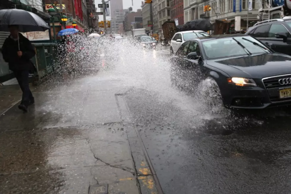
All of Texas' major cities are at risk for an excessive rainfall event today. Some downpours could overwhelm municipal drainage systems during heavy storms today.
Strong storms are marching southward across Louisiana as a cold front, yes a cold front, brings a break in the heat for the Gulf South over the next few days.
Data compiled from NOAA shows which Louisiana parishes are most likely to experience tornadic activity. Some of those parishes have already had touchdowns this year.
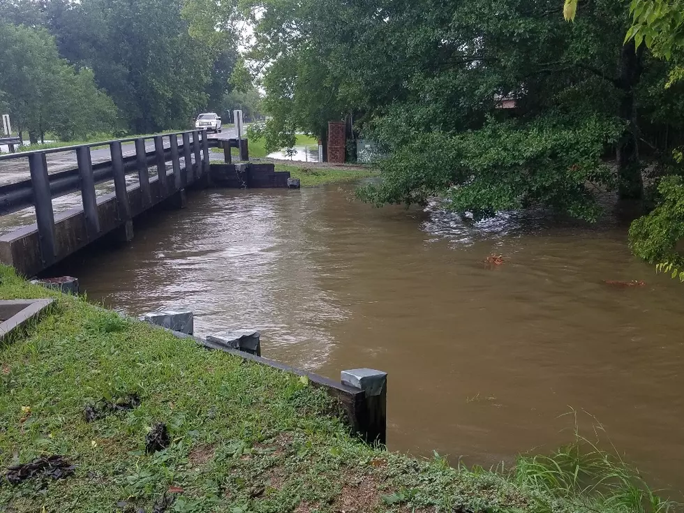
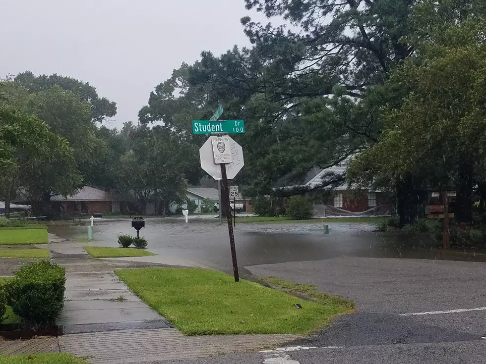
Tropical downpours across southern Louisiana on Monday could drop rainfall rates of several inches per hour. Here's where the heaviest rain is forecast to fall.
The National Weather Service has issued a special statement regarding the the development of funnel clouds over southwestern Louisiana Monday afternoon.
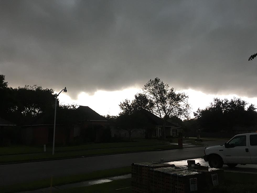
Strong to severe storms and possible tornadoes are in the forecast for many of the same areas in Louisiana that received storm damage over the weekend.
Heavy downpours, gusty winds, and possible tornadoes could all be in the mix for parts of Louisiana again today. The National Weather Service says be weather aware.