Severe weather watches and warnings have already been posted in many parts of Louisiana. Here is where the storms are now and where they are expected to go.
Forecasters with the Storm Prediction Center are suggesting a stormy start to the work week. Could affect your school day and your plans to view the eclipse.
Forecasters with the National Weather Service are suggesting that the start to Louisiana's work week on Monday will be raucous with a severe storms looming.
The National Weather Service says the threat of strong to severe storms across Louisiana is even more likely than first thought. Here's the timing on the storms.
Spring storms will factor into the beginning of Louisiana's work and school week. It looks as if none of Louisiana's 64 parishes will dodge high wind and heavy rain.
Two lines of strong storms are marching across South Louisiana this morning. Severe weather warnings have been issued as the storms move along the I-10 corridor.
Gusty winds, heavy rain, possible hail, and maybe even a tornado, that's what Louisiana could expect with Thursday's forecast round of strong to severe storms.
National Weather Service Forecasters are predicting strong to severe storms to begin Louisiana's workweek. There could be a threat of flash flooding as well.
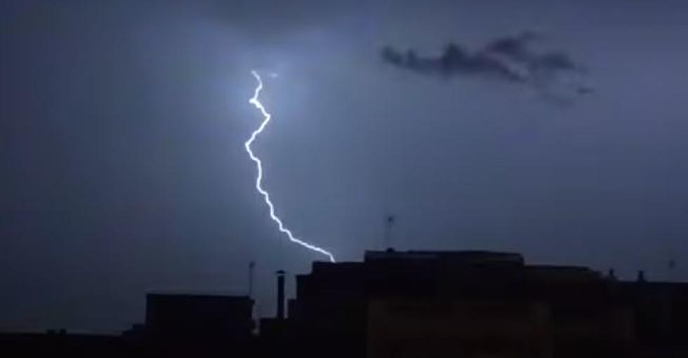
Rumbles of thunder and flashes of lightning awoke Louisiana residents early this morning, when will the rain end? And, when will Louisiana get its next round of storms?
The timing has once again shifted on the wet weather forecast for Louisiana this weekend. Mardi Gras events could be interrupted by storms on Saturday and Sunday.