Winter Storm Warning Issued for All of South Louisiana
Forecasters with the National Weather Service office have now included almost all of South Louisiana in a Winter Storm Warning which is in effect from midnight tonight through 6 pm Monday. A winter storm warning means that wintry weather, including freezing rain, sleet, and snow is likely within the warned area within 24 hours.
As you can see by the graphic forecasters believe wintry conditions could create a problem from the Texas line east to Morgan City and all other points to the north of that line. The real question is how big of a problem there will be and what form, freezing rain, sleet, or snow, the problem will manifest.
How big of an issue you will see with this storm really does depend on where you live. Just like with tropical systems, a difference of 10 or 20 miles can mean a lot.
This graphic from the Storm Team 3 Weather Lab at KATC Television really explains what we are in for.
For example, in the Alexandria area, there is a threat of freezing rain today and more freezing rain overnight followed by one to three inches of snow. Central Louisiana will like be hit hard with power outages caused by ice accumulations.
Along the U.S. 190 corridor there is a slight risk of freezing rain this morning, please be careful on those bridges. Then later tonight there will be another threat of freezing rain that should linger through the early part of Monday. For Opelousas, Eunice, and Port Barre, there could be ice accumulations of 0.3 to 0.5 inches.
Along the I-10 corridor, the forecast for today is only calling for a very cold rain as temperatures should be above freezing. However, later tonight the temperature will drop below 32 degrees Farenheight, and there will be a threat of frozen precipitation. The National Weather Service at this time is predicting a possible ice accumulation of 0.2 to 0.4 inches in Lafayette. The ice totals will be slightly less in Lake Charles and slightly more in Baton Rouge.
The bottom line is simply this, take care of whatever grocery shopping or errands you need to run today during the daylight hours. Then after the sun goes down, prepare to enjoy being wherever you happen to be for the next 24 to 36 hours. For example, if you go to work on Sunday evening, you probably won't feel safe driving home until Tuesday afternoon although in some locales travel may be discouraged through midday Wednesday.
The forecast for Mardi Gras does include a hard freeze warning and a wind chill advisory so maybe it's a good thing the coronavirus shut our parades down already. The good news is that any frozen issues should start to ease by the middle of the day Tuesday as full sunshine will provide radiational heating on roads, bridges, and powerlines, and the air temperature will rise well above the freezing mark to the mid-30s.
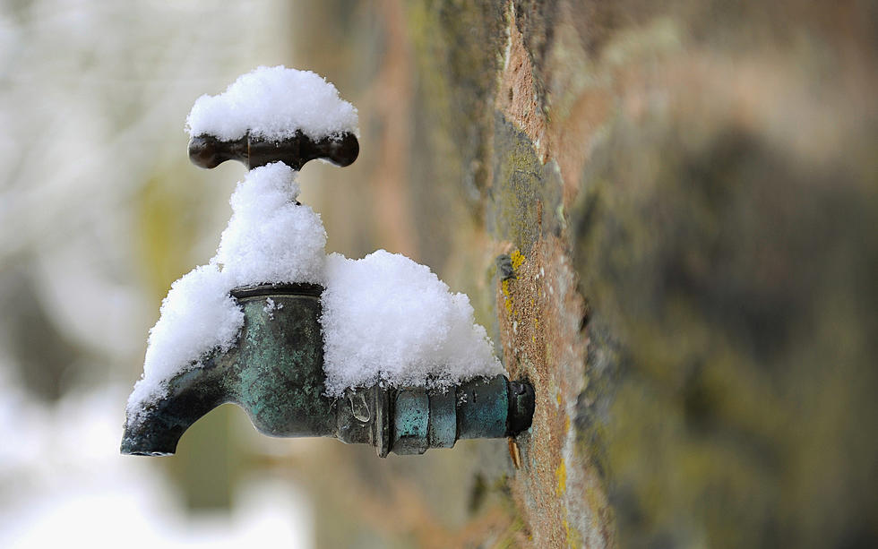
Things you can still take care of today include covering plants to protect them from the freezing temperatures. You can also make sure your pipes and exposed faucets are protected too. And if you have outside pets, please make sure they have proper shelter to weather the storm. Hopefully, you have an inside space where they can stay at least for tonight and Monday night.
By the way, by next week temperatures will be actually springlike so if the cold weather of this week gives you cabin fever, then maybe you can hop in the truck and take a little ride.
10 Must-Drive Roads in Acadiana
More From Classic Rock 105.1