Tropical Depression 9 Forms – Forecasters Watching Another Area In The Gulf
This was supposed to be a quiet tropical season and when you consider the lack of land falling tropical cyclones we've had to report on, I guess it has been. Still there has been a significant amount of activity that has bubbled just below hurricane and tropical storm status especially over the past month.
Statistically we are at the peak of the Atlantic Hurricane season, actually we're just a few days past the peak of September 10th. Currently in the Atlantic basin forecasters are watching three areas of concern. One of those areas is a new tropical depression.
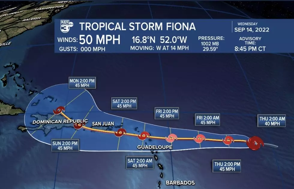
TD 9 formed yesterday in the middle of the tropical Atlantic and really isn't expected to be much of a player as far as any land mass is concerned. The forecast track calls for the system to move to the west northwest, slowly weaken, and then dissipate.
Another disturbance closer to the African continent has a pretty good chance of becoming a tropical cyclone too. This system about 500 miles south of the Azores is given an 80% probability of getting stronger over the next five days. If it does earn a name it will be called Ida.
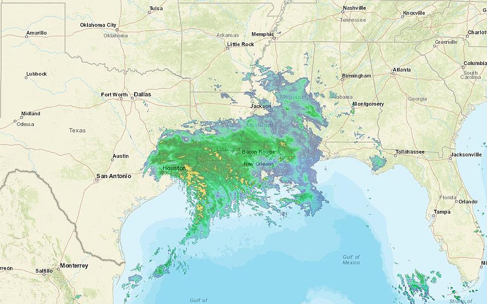
Closer to home in the eastern Gulf of Mexico is a broad area of low pressure. The Hurricane Center does not give that system much of a chance to develop in The Gulf but it is expected to cross the Florida Peninsula and could become an issue in the Atlantic for the eastern seaboard. Obviously time is the key factor for this system and forecasters will continue to watch it.
More From Classic Rock 105.1


![Empty Gallon of Milk Could Come In Handy If Electricity Goes Out [PHOTO]](http://townsquare.media/site/34/files/2021/08/attachment-GettyImages-1257995328.jpg?w=980&q=75)

