Cool Front Could Usher In Fabulous Labor Day Weather
Just so you don't think we use long-range forecasts just to give you the heads up on tropical weather, here comes news of a long-range forecast that should put a smile on your face and some pep in your step for the Labor Day weekend that's coming up.
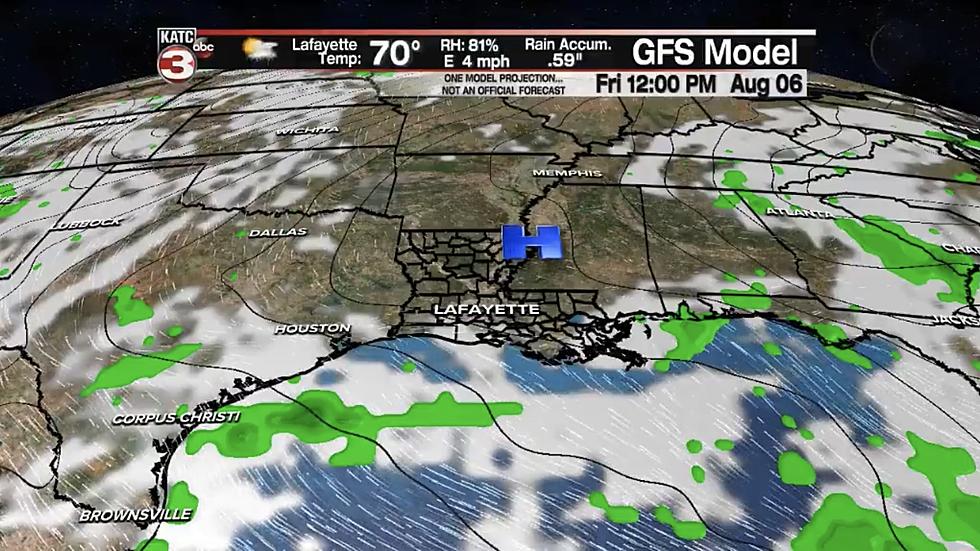
Forecasters believe that by late in the day Wednesday a cool front, currently located over the InterMountain West of the United States will slide slowly across the region and into the Gulf of Mexico during the day on Thursday.
Should this happen this will mean at the very least lower humidity for late Thursday, all day Friday, and most of Saturday. By Sunday higher humidities will return and there is a potential tropical threat for the beginning of next week that will have to be watched.
For the short term, there is still a pretty good chance of showers across South Louisiana today. By Tuesday we should have typical August weather with a threat of mainly afternoon and early evening showers or thunderstorms. Wednesday the front approaches with the threat of rain and thunderstorms.
You do realize that if the threat of tropical system materializes in the Gulf of Mexico on Sunday or Monday then the long-range forecast from the Old Farmer's Almanac will have been correct again.. Personally, I hope they're wrong but just in case they aren't we did make you aware of that potential situation almost two weeks ago.
More From Classic Rock 105.1