Severe Weather Threat Possible Across Louisiana Tonight
A strong springtime cold front has brought a mixed bag of weather across the country over the past few days. People in the Midwest have awakened to snowy streets while people down south have been rattled out of their beds by strong thunderstorms.
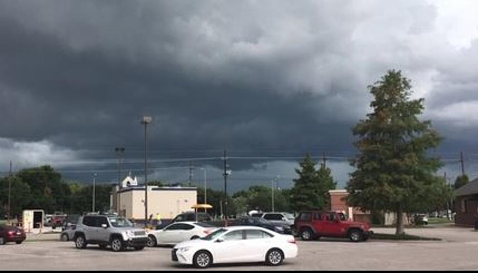
Those strong storms will likely make an appearance across much of Louisiana during the nighttime hours tonight as this frontal system continues its march toward the east. The Storm Prediction Center has placed the entire state in the "slight risk" category for severe storms and possible tornadoes.
The most likely scenario sets up for a potential severe weather threat between 10 PM tonight and 6 AM tomorrow. At the very least most of the area will see rain accompanied by thunder and lightning.
The system should move through the area and take most of the heavy weather with it by sunrise Wednesday. Behind the front, we should expect gusty northerly breezes and a significant cool down compared to the past few days.
The forecast calls for the high temperature on Wednesday to be near 70 degrees. That is about a ten-degree departure than today's forecast high. Overnight lows will fall into the upper 40's on Wednesday with clearing skies on Thursday.
The break in the rains will be short-lived as another frontal system is expected to move through the area bringing a threat of rain to South Louisiana for the weekend.
More From Classic Rock 105.1