
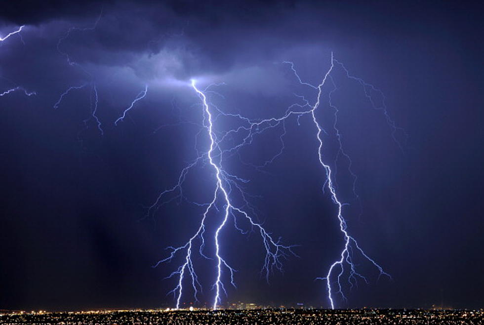
Severe Weather Possible in Acadiana Today
The early morning weather radar scans out of the Texas Hill Country and Southeast Texas do not paint a pretty picture of what's coming to Louisiana. Already this morning that part of the country has experienced severe storms, heavy rainfall, gusty winds, and those storms didn't even have the benefit of daytime heating to really get rocking.
The Storm Prediction Center has placed almost all of western Louisiana under a marginal risk of severe weather today. Based on what we've seen moving east out of Texas this morning, a good drenching certainly seems quite possible.
Meteorologist Daniel Phillips has a great story posted on the KATC website about what we can expect for the day today. Even Daniel admits this weekend's forecast could be a little tricky as far as when and where the heaviest of the storms could pass. That's why we want to encourage you to download our Station Mobile App and activate the Alerts in the settings.
The National Weather Service forecast does hold a large threat of rain and storms in the area all the way through Sunday night. Rainfall totals in some locations could amount to several inches by the time we return to sunny skies early next week.
READ MORE: Tropical Cyclone Categories and What Exactly They Mean
More From Classic Rock 105.1
