
From Freezing to Flooding: Louisiana Braces for a Week of Heavy Rainfall Expected
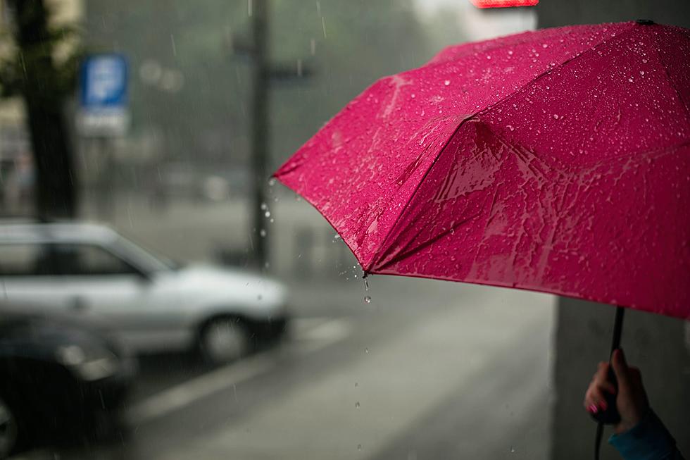
Louisiana residents, who are barely climbing out of a series of cold snaps, are now preparing for a dramatic shift in weather patterns as the state is expected to move from freezing conditions to a potential flooding scenario. The coming week is forecasted to bring significant rainfall to the region, raising concerns about flash floods and heightened flood risks.
Chief Meteorologist Rob Perillo of KATC has indicated that the last of the freezes for this month wrapped up Saturday (Jan. 20) into Sunday morning, leading to a transition to a wet and mild pattern across Acadiana. This change indicates a soggy week ahead, with several instances of locally heavy rainfall anticipated. The pattern is predicted to ease later next week, but not before another bout of heavy rains possibly hits the area on Saturday (Jan. 27).
The forecast points to milder and wetter conditions for the area starting Monday night and continuing through at least Wednesday. A series of weather systems is expected to bring rain and potentially some storms. There is a possibility of two or three rounds of heavy rainfall, each capable of producing 1-2 inches of rain. The heaviest rains may arrive by Wednesday, though the exact timing, intensity, and persistence of these systems remain challenging to predict accurately.
According to the Weather Prediction Center (WPC), accumulative rains over the next seven days could reach 4-7 inches. While the rain is not expected to be continuous, as it is spread over multiple days, the flood threat could intensify, particularly toward mid-week. There is also a possibility of a low-end severe storm threat by Wednesday, although this will likely be confirmed early in the week.
Louisiana residents are advised to be alert to the flood risk, especially as the soil becomes saturated. The recent cold weather will contribute to quicker runoff, thereby elevating the flood risk. The weather models present varying predictions, with the Euro model suggesting less rain and the GFS maintaining steady estimates. However, forecasts are currently aligned with the WPC's estimates.
The rain and weather systems are expected to calm down briefly between late Thursday and Friday, but another round of rains may arrive by Saturday. Following this, the pattern is predicted to quiet down for several days toward the end of the 10-day forecast.
We'll be following Rob Perillo and looking forward to forecasts from the Storm Team 3 Weather Lab as the week progresses.
LOOK: The most expensive weather and climate disasters in recent decades
Gallery Credit: KATELYN LEBOFF
