Chilly Temperatures Return To Acadiana, Storms Likely By Weekend
As far as January's go this one hasn't been too bad as far as Mother Nature is concerned. Our temperatures have been anywhere near the freezing mark for the past several weeks and it looks as if we'll avoid spreading sheets on plants to avoid the frost for at least the next two weeks.
In fact, the coldest air we've felt for 2020 will likely fill into South Louisiana this morning following the passage of a very weak cold front. That front is expected to kick off some light rain and drizzle before sunrise but for the most part, it will be a non-event.
What you will notice, besides temperatures being about 10-15 degrees cooler than they were yesterday is the wind. Gusty winds will fill in behind the front. Those northerly breezes will make it feel cooler than the actual air temperature for those that have to be out in it.
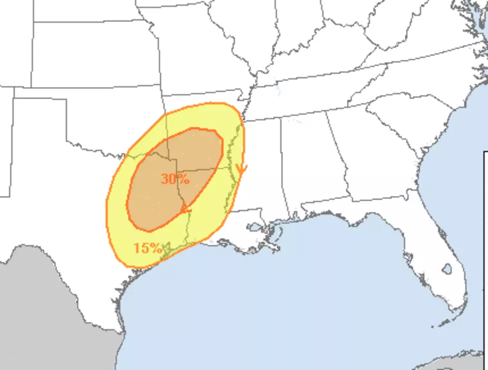
Later in the week is when forecasters believe that South Louisiana will get some natural fireworks popping in the form of some strong thunderstorms. Although the forecast window is a little too broad at this juncture to accurately predict specific locations where strong storms might breakout most of the models say we should be watching the skies by late in the day on Friday and early Saturday morning.
But for the most part, it will be a quiet week of weather with warmer temperatures returning Wednesday and Thursday before that next frontal system is forecast to move through the area this weekend.
More From Classic Rock 105.1