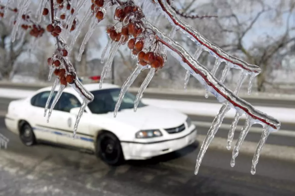
Below Freezing Temperatures Forecast For Mardi Gras
A lot of us are just now getting water pressure and water pipes back to pre-freezing operating levels. That means the pipes are no longer busted and the water pressure is more than a trickle. So the thought of more sub-freezing temperatures is not the kind of thought any of us want to be thinking.
The memories of the record cold temperatures and frozen precipitation of last week are slowly fading into our past. However, at least one long-range forecast model is suggesting that winter will be back with a vengeance and just in time for Mardi Gras.
Alright, before you go sewing fur on to your Mardi Gras beads let me remind you that this is just one computer model. It's also a computer model that covers a lot of time between now and February 12th so the opportunity for inaccuracies is great.
That being said, there is always this indicator, if you want to get to the truth on any issue, follow the money. In this case, a quick check of natural gas futures on the commodity market suggest it's going to get cold.
Still, more and more of the reliable forecast products are showing at least a significant cold air intrusion into the United States during the first days of February. Almost all of those models bring frigid air into the Deep South too. The good news is that most of the models are not suggesting another frozen precipitation event or another "bomb cyclone".
More From Classic Rock 105.1


![Who Is Alexa Picking To Win The Super Bowl? [VIDEO]](http://townsquare.media/site/37/files/2018/01/nflfootball.jpg?w=980&q=75)

![Mom’s Achilles Tendon Loudly Snaps During Home Workout [NSFW Video]](http://townsquare.media/site/35/files/2018/01/ruptured-achilles-tendon.jpg?w=980&q=75)

![Yes, You Can Actually Make Your Own King Cake [VIDEO]](http://townsquare.media/site/33/files/2018/01/hqdefault3.jpg?w=980&q=75)